
Rain and warmer weather are expected along the east coast of Queensland
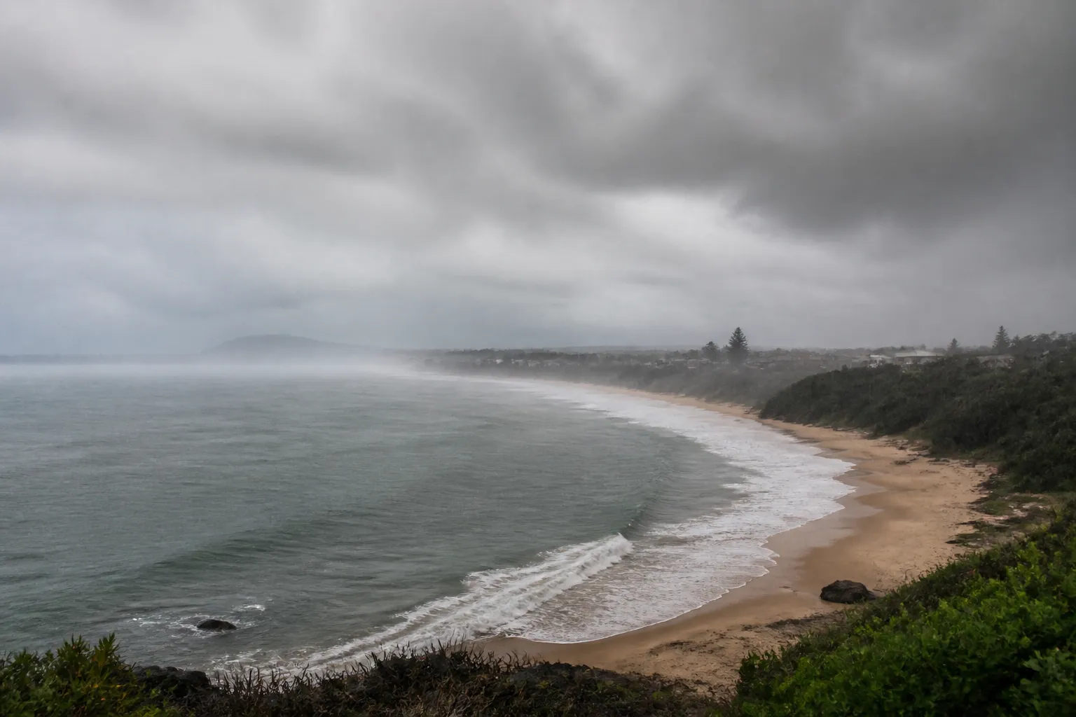
Light rain is forecast for the east coast of the Australian state of Queensland over the weekend, and as spring approaches, temperatures in the state will begin to rise above average. In the southeastern part of the state, particularly in the Gold Coast and Sunshine Coast regions, isolated thunderstorms are possible.
Felim Hannifi, a senior forecaster with the Australian Bureau of Meteorology, told ABC that the precipitation will be brought by a weakening trough. It will bring cloud cover to parts of the state’s southern interior before moving toward southeastern Queensland.
Rain in the southeast is expected to be mostly light and is unlikely to significantly alleviate the drought persisting in some areas of the state’s south. However, additional rainfall is possible there next week. Heavier localized rains are forecast for the northern tropical coast and the Cassowary Coast, where 10 to 20 millimeters of rain may fall. Similar amounts are also possible in some inland areas of Queensland.
For more breaking news, follow the UA.News Telegram channel.
After the rains subside due to lighter winds in the eastern parts of the state, morning fog may form in some areas. In Cairns, the high temperature will reach 27 degrees Celsius over the weekend.
Next week, due to another weather system, forecasters predict that temperatures will rise significantly above average. In western Queensland, temperatures could reach the mid-30s by midweek, while the southeast is expected to see temperatures in the mid- to high-20s.


