
UN General Assembly to vote on abandoning the Mercator projection
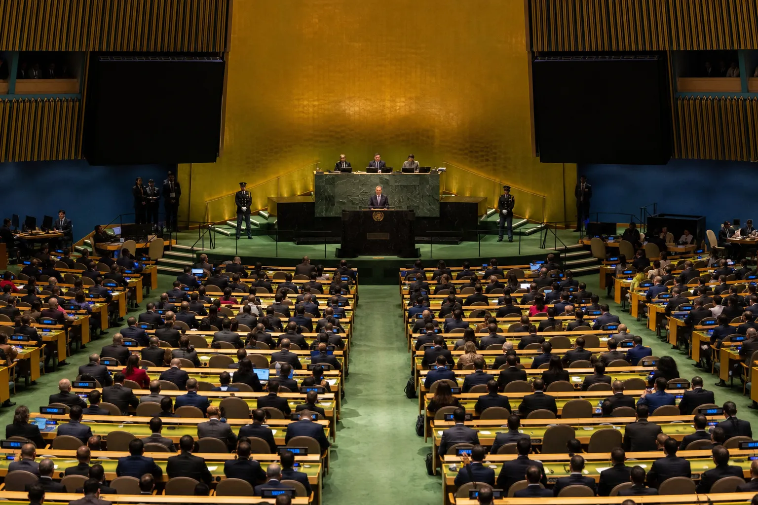
The UN General Assembly is set to vote on a resolution on gradually abandoning the traditional Mercator projection in favor of a cartographic representation that more accurately conveys Africa’s actual area. The document was initiated by Togo and supported, among others, by 54 other member states of the African Union, The Guardian reports.
Why the projection is proposed to be replaced
The Mercator projection was created by Flemish cartographer Gerardus Mercator in 1569 for maritime navigation. It remains a common standard in education, technology and public administration, but significantly distorts area ratios: territories near the equator appear smaller, while regions at high latitudes appear larger.
In particular, on such a map Africa may appear to be roughly the same size as Greenland, although the African continent is 14 times larger than the Danish territory. Togo’s Foreign Minister Robert Dussey called the discussion scientific rather than political, referring to available scientific evidence.
More current news is available on the UA.News Telegram channel Telegram.
Which map is proposed for use
Togo’s #CorrectTheMap campaign supports the use of the Equal Earth map, developed by an international group of cartographers in 2018. Its supporters believe that the equal-area representation will help portray Africa more accurately in educational programs and public perception.
UN resolutions are not binding, but if approved, the document may affect updates to school curricula and everyday technologies. Togo’s authorities also plan to hold an event in Lomé in the first quarter of next year with the participation of UNESCO, the African Union and technology brands, including Google Maps, to develop a plan for implementing the resolution.


