
In the US, Trump pushes changes to geographical names on maps
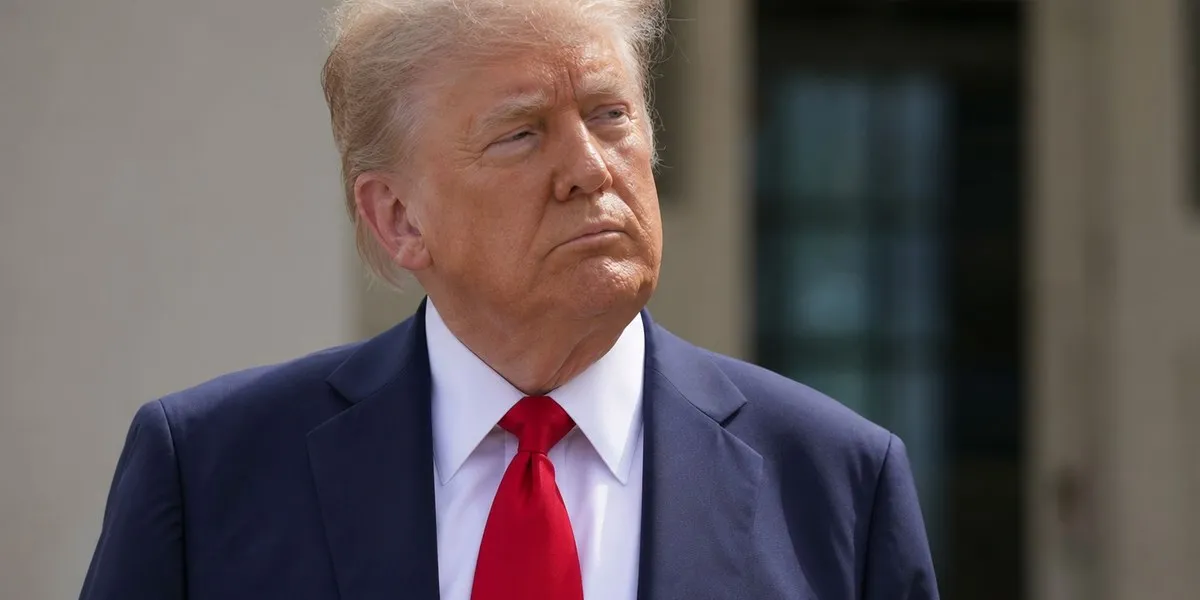
In the United States, President Donald Trump is pushing to rename geographical features on maps, including the Gulf of Mexico as the Gulf of America and Lake Ontario as Lake America. Presidential orders also affect the GNIS system, which concerns official cartographic standards in the US, YLE News reports.
Names in mapping services
Google, which has its own mapping services, follows the presidential line on these name changes. As the publication notes, depending on the user's location, Lake Ontario may have different names: in North America, it is Ontario or Lake America, while in Europe a combined name is used.
Johanna Skurnik, an associate professor at the University of Turku and a researcher of the history of cartography, believes that Trump seeks to promote the idea of a “great America” cartographically and create an image of the US as a huge state. According to her, maps can influence how people perceive the world, although they often give the impression of being a neutral and objective source of information.
More current news is available on the UA.News Telegram channel Telegram.
Skurnik noted that rulers have used maps to convey political messages for centuries. Maps can be a symbolic and propaganda tool, as well as reflect nationalist aspirations or territorial claims.
Disputes and projections
Different versions of maps exist, in particular, regarding the borders between Sudan and South Sudan, as well as Kashmir between India and Pakistan. In India, depicting Kashmir separately from the country is a punishable act that may result in a fine or imprisonment. According to YLE News, maps there are controlled by the surveying service.
Earlier this month, the UN recommended during a non-binding vote using the Equal Earth projection for official world maps and abandoning the Mercator projection. The latter was created for navigation, but is criticized for enlarging polar regions. Skurnik recalled that Africa is approximately 14 times larger than Greenland, although the Mercator projection may create the impression that they are similar in size.


