
AI finds about 10,000 more field islands in Estonia
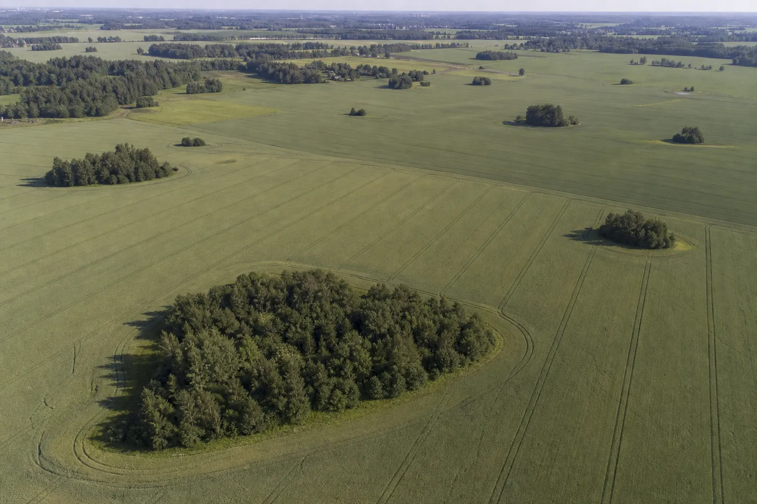
Researchers at the University of Tartu used artificial intelligence to identify nearly 38,000 field islands in Estonia — small patches of trees and shrubs amid agricultural land. This is about 10,000, or 34%, more than listed in the official ARIB register, ERR News reports.
Detection from aerial photographs
Scientists trained a deep-learning model to recognize field islands in aerial photographs. They used more than 15,000 labeled examples created from high-resolution images and existing maps that farmers produced when applying for European Union agricultural support.
The model learned to distinguish such areas from forest tracts or ordinary rows of trees by their shape and color. After training using the university's high-performance computing cluster, the system analyzed around 2,000 aerial photographs covering the entire territory of Estonia. The researchers also openly released the dataset and software code.
Habitats for birds and insects
Field islands usually range in area from 0.01 to 0.5 hectares. They can serve as nesting sites for birds of agricultural landscapes, as well as habitats for wild bees and beneficial insects that pollinate crops and help control pests. Due to their environmental importance, farmers can receive support for preserving such areas under the EU's Common Agricultural Policy.
More current news is available on the UA.News Telegram channel Telegram.
The algorithm recorded the largest number of field islands in central Estonia, where large fields are common. At the same time, the system consistently detected fewer such features in the country's northeast because they often consist mainly of stones and shrubs rather than trees.
AI as a tool for preliminary analysis
Researcher Holger Virro noted that the results do not indicate inaccuracies in official maps, but demonstrate the difficulty of continuously manually recording thousands of small landscape elements. According to him, the system can quickly identify places that require further verification by specialists, although it sometimes confuses hedgerows with field islands or fails to recognize rocky areas without trees.
The authors also found that somewhat lower image resolution improved the model's accuracy: it covered a larger part of the landscape and better distinguished isolated islands, forest edges and hedgerows. The results of the study by Afif Fauzan, Holger Virro and Evelin Uuemaa were published in the journal Geocarto International.


