Satellite records Greenland’s largest floating ice loss since 2012 — Space.com
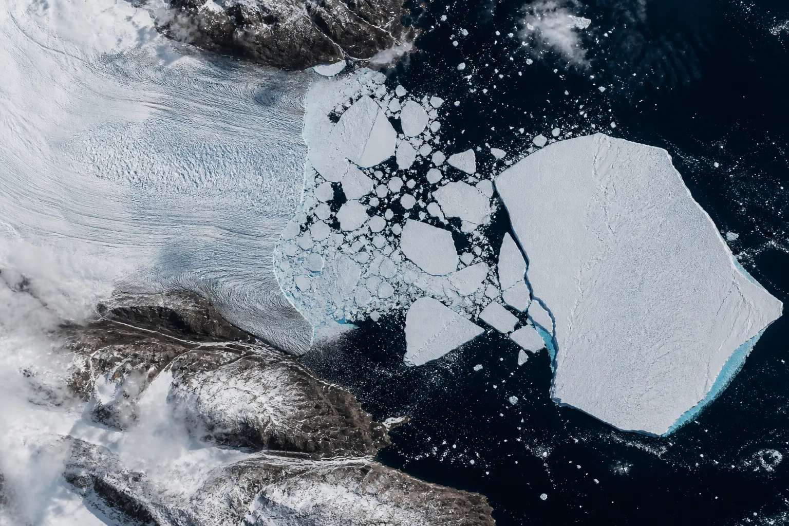
The European Space Agency’s Copernicus Sentinel-1 satellite recorded the calving of a section of the floating ice tongue of Petermann Glacier in northwestern Greenland on August 4, 2026. An area of ice measuring about 76 square kilometers separated from the glacier.
Ice tongue fracture
Petermann Glacier connects the Greenland Ice Sheet with the Arctic Ocean. Previously, its floating ice tongue extended approximately 70 kilometers in length and 15 kilometers in width. New satellite images showed that the tongue had fractured; this is the most significant loss of floating ice at the glacier since 2012.
As Space.com reports, this is also the largest recorded ice-calving event in the Arctic since 2020. Images released by the ESA show cracks in the ice tongue and the separated ice section.
More current news is available on the UA.News Telegram channel Telegram.
Observations from space
ESA scientist Martin Wearing said that missions such as Sentinel-1 provide the systematic long-term observations needed to track such changes. According to him, these data help researchers better understand the processes that cause ice calving and their impact on the polar environment and the Earth system.
University of Stirling glaciologist Anna Crawford noted that research into Arctic ice islands provides knowledge that can be applied in other polar regions. She linked such research to the study of glacier dynamics, sea-level rise, and the state of the ocean environment.