Researchers trace how sailors shaped a global view of Earth — Cyprus Mail
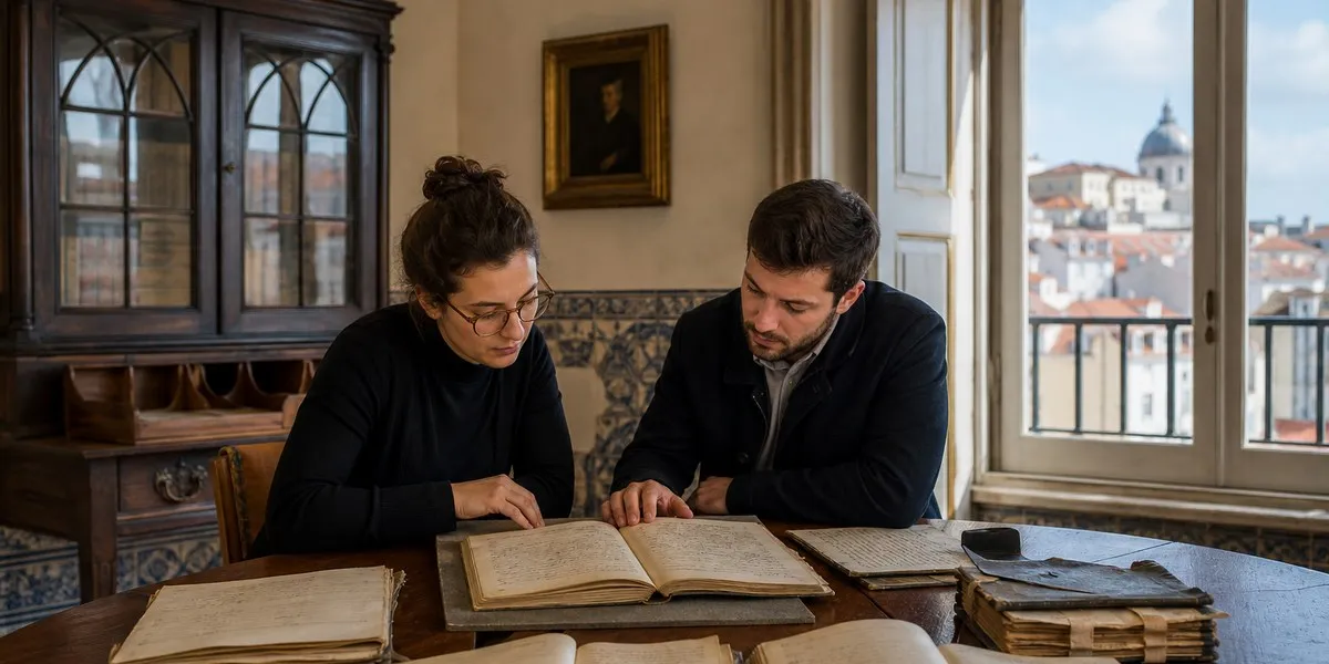
In Lisbon, Portugal, researchers at the University of Lisbon analyzed hundreds of old sailing manuals and ship logs to trace how sailors’ practical observations in the 15th–17th centuries gradually shaped the idea of Earth as a single interconnected planet. The results of the RUTTER project were reported by Cyprus Mail.
The EU-funded project was launched in 2019 by science historian Henrique Leitão. Over six years, the team studied so-called rutters—old navigational records containing information on distances, latitudes, currents, winds, storms, terrestrial magnetism, and natural landmarks. The researchers also compiled a catalogue of surviving navigational materials for further study.
From local routes to global patterns
The earliest surviving rutters, created at the end of the 15th century, were fairly schematic. Over time, such records became more detailed, and measurements could be compared across different voyages. This allowed sailors, navigators, and cartographers to identify patterns extending beyond individual maritime regions.
According to Leitão, by the end of the 16th century, understanding of the movement of winds and ocean currents on a global scale had intensified, and the concept of a global climate began to take shape. Cartography, meanwhile, increasingly focused on depicting the entire planet.
More current news is available on the UA.News Telegram channel Telegram.
Knowledge of local seafarers
The RUTTER team compared not individual manuscripts but large collections of rutters and logs, studying the spread of maritime knowledge among different regions and navigational traditions. Science historian Juan Acevedo emphasized that the European understanding of the world depended to a considerable extent on the knowledge of local sailors.
As an example, he cited 1565, when Spanish ships were able to establish a return route across the Pacific Ocean from the Philippines to Mexico by using seasonal winds and currents. Acevedo also studied Arabic sources on navigation in the Indian Ocean, which documented active contacts between European sailors and local navigators.
Ship documents can be useful not only for the history of seafaring: records of animals sighted may help reconstruct past marine biodiversity, while observations of weather and sea conditions may provide data for climate research.