
Israel revises boundaries of ‘state land’ declaration in West Bank
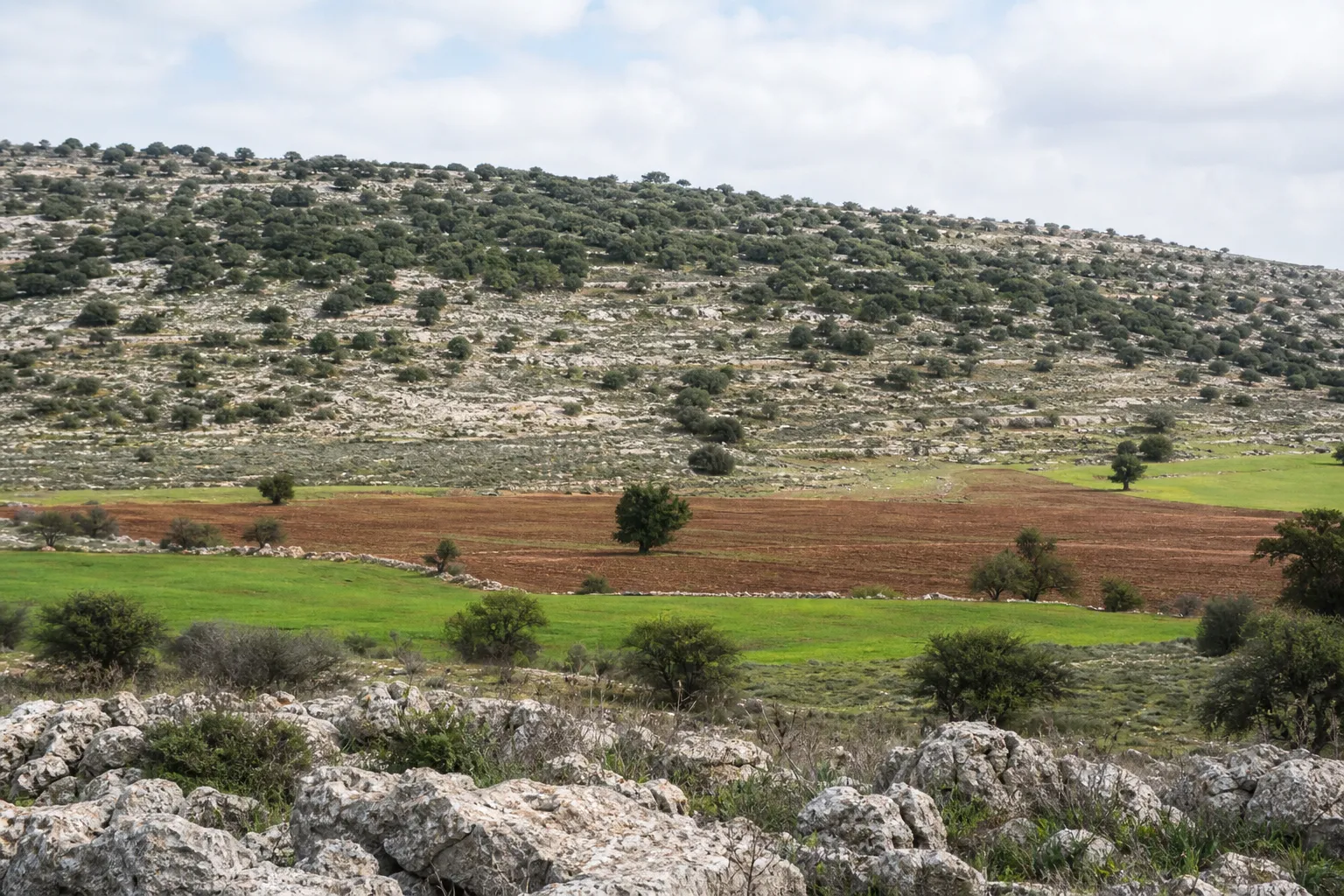
In the occupied West Bank of Palestine, Israeli authorities revised the boundaries of a 1984 declaration of “state land,” adding nearly 194 dunams of Palestinian land near the villages of Jalud and Al-Mughayyir. This was reported by Anadolu Agency, citing the Palestinian Colonization and Wall Resistance Commission.
Revision of boundaries
According to the commission, Israel’s “Blue Line” team approved the inclusion of 193.93 dunams, or 47.9 acres, of land in the declaration. At the same time, 15.07 dunams were removed from the previous boundaries, while 1,433.85 dunams remained unchanged.
Thus, the net increase in area amounts to approximately 179 dunams, or 44 acres. The commission noted that this decision in itself does not mean an expansion of the settlements’ area of influence, but the added plots may become available for planning procedures or land allocation at later stages.
More current news is available on the UA.News Telegram channel Telegram.
Land near Nablus and Ramallah
Jalud is located southeast of Nablus, while Al-Mughayyir is northeast of Ramallah. According to the commission, settlement and outpost expansion is continuing in this area, along with restrictions on the use of agricultural land and pastureland.
In August, the commission reported that Israeli authorities had declared approximately 1,152 dunams of land in Sinjil, al-Lubban ash-Sharqiya and Qaryut to be “state property.” According to its data, the aim was to expand the Karmei Oz settlement and strengthen geographical continuity between settlements and outposts in the area between northern Ramallah and southern Nablus.
Israeli settlements established in the occupied West Bank are considered illegal under international law.


