
Typhoon Dujuan approaches the Tokyo area — The Japan Times
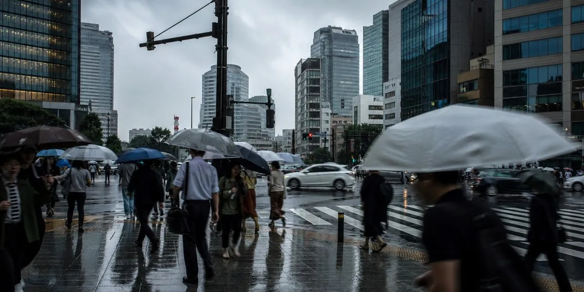
In Japan, powerful Typhoon Dujuan was forecast to bring heavy rain to the Izu Islands and the Kanto region, including the Tokyo area, from Monday afternoon. A Level 4 danger warning was issued for some areas, The Japan Times reports.
Warnings for coastal areas
The Japan Meteorological Agency urged residents of the Izu Islands, the Kanto region, and the Pacific coast of the Tokai and Tohoku regions to exercise particular caution due to the risk of landslides, strong winds, flooding in low-lying areas, rising or overflowing rivers, and high waves.
City residents were also warned of possible road flooding. They were advised to avoid underground facilities where water may accumulate and vehicles could become trapped.
More current news is available on the UA.News Telegram channel Telegram.
Rainfall and transport disruptions
As of 7:45 a.m. Monday, the 25th named storm of the year was moving north-northeast at 20 km/h over waters about 180 km south of Hachijojima Island in the Izu archipelago. Atmospheric pressure at the typhoon's center was 965 hectopascals, maximum sustained winds were 35 m/s, and gusts reached 50 m/s.
In the 24 hours up to 7:40 a.m. Monday, 387.5 mm of rain fell on Izu Oshima Island, while 283.5 mm fell in the city of Kimitsu in Chiba Prefecture. By 7:00 a.m. Tuesday, forecasters expected up to 350 mm of rainfall in the Tokai region, up to 300 mm in Kanto and the Izu Islands, and up to 200 mm in Tohoku.
Due to the severe weather, the Tokyo Game Show canceled its Monday program, shortening the five-day event by one day. East Japan Railway said services would be partially or fully suspended on some lines in Chiba and Ibaraki prefectures, as well as in western Tokyo.


