
Detailed 3D model of Los Angeles Basin created in the US to assess earthquake risks
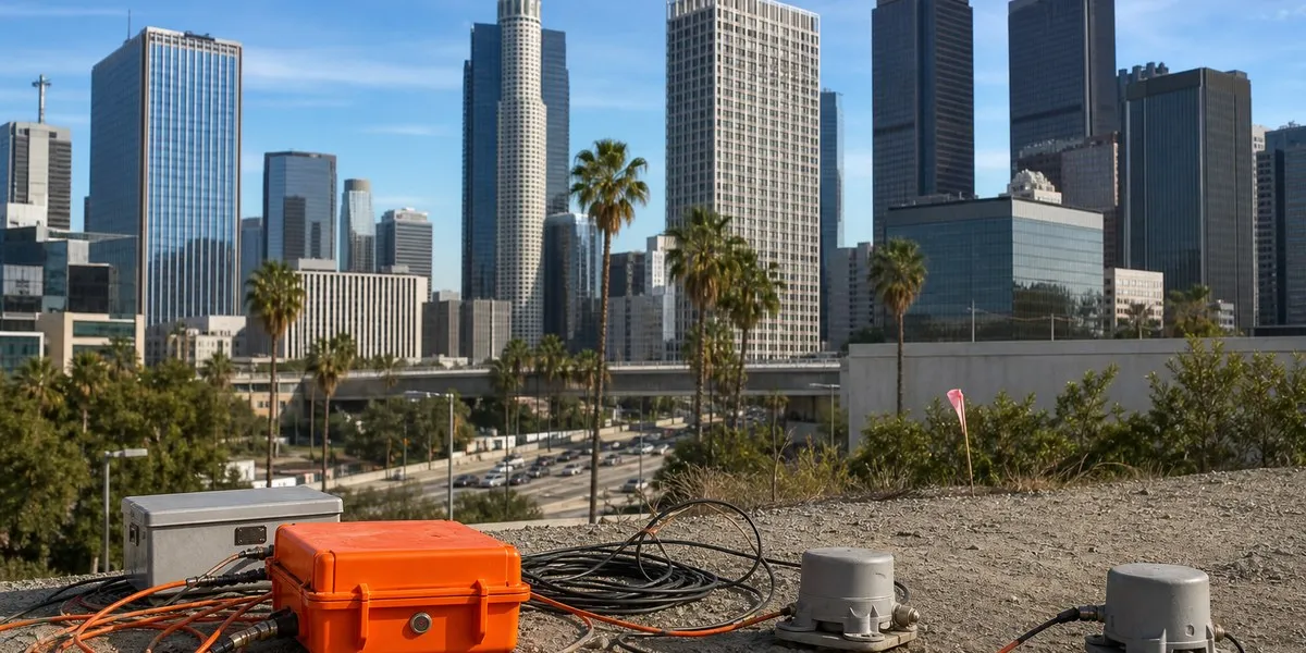
In Los Angeles, United States, scientists have created a detailed three-dimensional model of the sedimentary basin beneath the city. It showed that sedimentary rocks up to 10 kilometers thick lie beneath downtown Los Angeles and may amplify ground shaking during earthquakes, Live Science reports.
Deep sedimentary layers
Los Angeles is located in a basin where sedimentary rocks have accumulated for at least 15 million years. Initially, this area was underwater, so the lowest layers are of marine origin. Later, tectonic forces raised the basin above sea level, after which sediments from nearby mountains accumulated there.
The deepest deposits were found beneath the city’s downtown area. At the edges of the basin, sedimentary rocks are 1 to 4 kilometers thick, with hard crystalline bedrock lying below them. U.S. Geological Survey seismologist Elizabeth Cochran, who was not involved in the study, noted that the uneven edges of the basin may focus or direct seismic waves.
More current news is available on the UA.News Telegram channel Telegram.
Data from 273 seismic stations
The model was built using data from 273 temporary seismic stations deployed in the Los Angeles area. They recorded weak waves from distant earthquakes that people did not feel. An analysis of the paths and travel times of these waves made it possible to reconstruct the three-dimensional structure of rocks beneath the surface.
According to study co-author Valeria Villa, a doctoral student at the California Institute of Technology, previous studies provided only separate linear cross-sections of the basin, whereas the new work became the first complete three-dimensional map. It can be used to update models and simulate different earthquake scenarios.
Significance for construction
The model itself does not determine precisely where tremors will be strongest, as the consequences depend, among other things, on the fault that causes the earthquake. Refined data on sedimentary layers may help assess resonance — a situation in which a building’s vibrations coincide with ground vibrations. When this occurs, damage may be greater; Cochran noted that this effect can be reduced by changing a structure’s stiffness.


