
Emissions from fires in Indonesia became the highest in the world
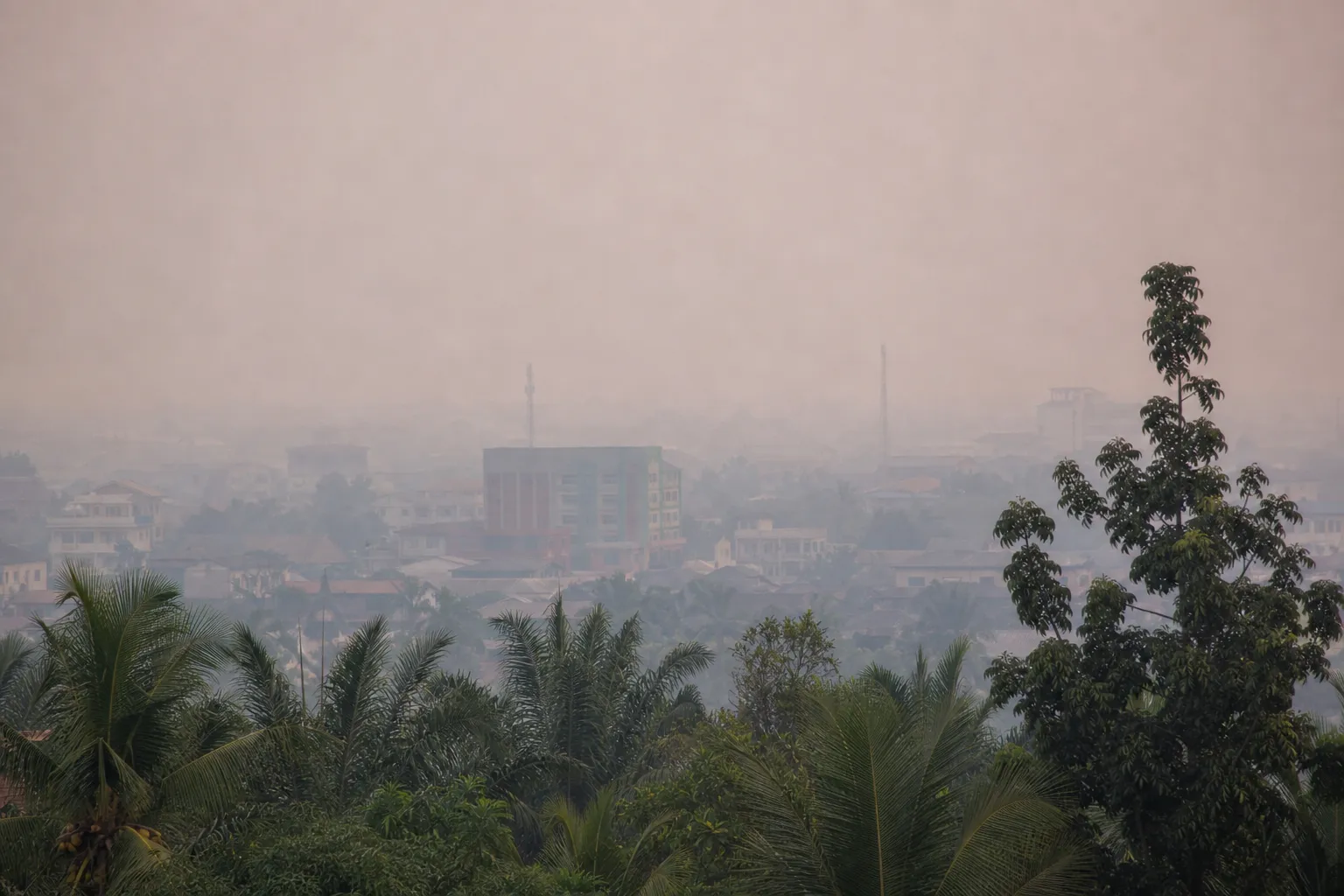
Emissions from forest and peatland fires on the islands of Borneo and Sumatra have risen sharply in Indonesia. According to the Fire Emissions Watch portal, developed by the EU's Copernicus climate service, they amounted to 19.7 million metric tons from September 1 to 7. This is more than one-third of global fire emissions during that period and more than in Russia, Asharq Al-Awsat reports.
The impact of El Niño
According to Copernicus estimates, the intensity of fire emissions in Indonesia exceeded 1,500 kg per square kilometer, more than ten times Russia's level. The highest concentrations were recorded in Kalimantan, the Indonesian part of Borneo, and in eastern areas of Sumatra.
The volume of emissions was 273% higher than the seasonal average, but remained below the 21.7 million tons recorded during the same week in 2015. Mark Parrington, a senior scientist at the Copernicus Atmosphere Monitoring Service, linked the intensification of fires to El Niño weather conditions: the region has become drier and hotter, and once ignited, fires burn much more intensely.
More current news is available on the UA.News Telegram channel Telegram.
Air quality and fire area
One of the most affected cities was Pontianak in West Kalimantan province. According to Swiss air quality monitoring company IQAir, the air quality index there reached 394 points on September 9. A figure above 300 is considered hazardous. Indonesia's Ministry of Environment said it was monitoring hazardous indicators in Kalimantan and other areas with concern, while emphasizing that Copernicus data alone do not reflect air quality in a specific locality.
From January to July, fires affected about 202,000 hectares of Indonesian land. Nisa Novita, a representative of the environmental group YKAN, said preliminary data for August may indicate a significant increase in the fire area — by approximately 600,000 hectares — primarily in Kalimantan, Sumatra and South Papua. The Sipongi platform, which uses data from NASA's Terra and Aqua satellites, recorded 13,443 hotspots from August 1 to September 8, compared with 9,454 during the same period in 2015.
Parrington noted that satellite estimates may fail to account for some peat fires if they smolder underground or burn at low temperatures. According to him, the fire season has only begun, and emissions may rise until the end of October.


