In Alaska, a landslide triggered a tsunami that raised water 481 m — ScienceDaily
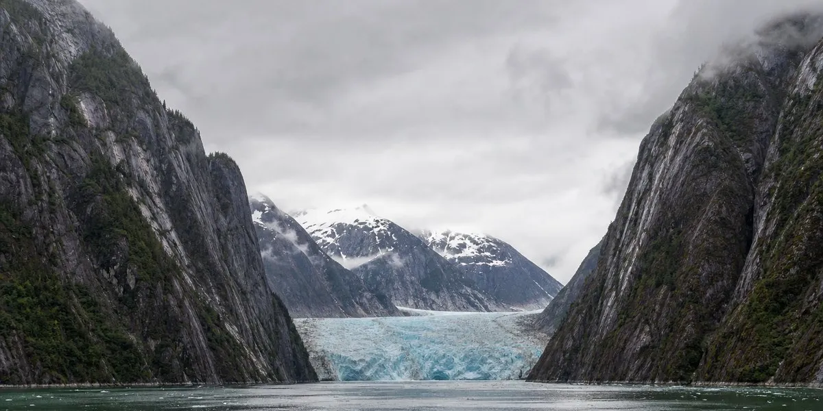
In Alaska’s Tracy Arm fjord, a mountain landslide that occurred on the morning of August 10, 2025, triggered the second-highest recorded tsunami. Water and debris surged 481 meters up the opposite slope, ScienceDaily reports.
The landslide occurred shortly after 5:00, about 12 hours after passengers aboard the Hanse Explorer visited South Sawyer Glacier and left the fjord. There were no ships nearby at the time of the collapse. The water flow continued through Tracy Arm fjord and stripped its walls down to bare rock.
Signs before the landslide
Researchers from the Alaska Earthquake Center indicated several signals preceding the collapse in a new study. The glacier beneath the landslide area was undergoing rapid calving of large blocks of ice and retreated by more than a third of a mile over two months.
Heavy rainfall was also occurring in the area. According to the authors, water entering cracks in rock can increase pressure in them and bring slope failure closer. In the days before the collapse, thousands of small seismic tremors were also coming from the area of the future landslide.
More current news is available on the UA.News Telegram channel Telegram.
A few hours before the event, the number of seismic signals increased sharply, and continuous seismic noise also appeared. According to the study authors, if a monitoring system had been in place, these signs could have been enough for gradual warnings to ships, as well as to people, homes, and businesses in the area of possible tsunami impact.
Warning system
The scientists propose using a scale of yellow, orange, and red danger levels. In their assessment, a combination of weather conditions and rapid glacier retreat could serve as grounds for a yellow warning of elevated risk in a broader area.
A sharp increase in seismic activity immediately before the collapse could correspond to the orange level and a recommendation for ships not to enter the fjord. After a major landslide begins, it can be detected and roughly assessed within several minutes using seismic waves, which would make it possible to issue a red warning about an event already underway. At the same time, the United States currently has no system for monitoring landslides of this scale.