Cyprus expects up to 70% more rainfall in October–December — Cyprus Mail
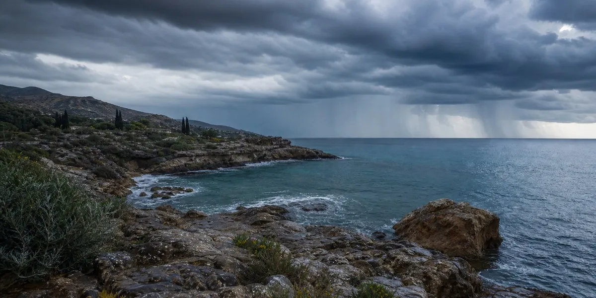
In Cyprus, rainfall in October–December could be 20–70% higher than usual, depending on the area of the island. The clearest signal of increased rainfall is expected in October, Cyprus Mail reports, citing Department of Meteorology director Philippos Tymvios.
Seasonal forecast for the island
Tymvios said that an analysis of IMS/ECMWF seasonal forecast maps for Cyprus indicates an overall wetter start to the period. At the same time, for December–February, the maps mostly show normal rainfall levels, and in some areas, slightly below normal.
According to the department director, a large-scale El Niño directly affects areas of the Pacific Ocean, but also indirectly influences weather worldwide. The phenomenon occurs when trade winds weaken and the westward movement of warm surface waters in the Pacific Ocean decreases.
More current news is available on the UA.News Telegram channel Telegram.
Combination of climate phenomena
The current El Niño is combined with the positive phase of the Indian Ocean Dipole. A study by the Hebrew University of Jerusalem linked this combination to more frequent “Cyprus lows” and higher rainfall in certain areas of the Eastern Mediterranean and the Middle East. Tymvios stressed that this is a statistical trend, not a guarantee of a rainy winter.
According to the World Meteorological Organization’s forecast, the sea surface temperature anomaly could reach around 3.7 degrees Celsius in October–December. The organization said this would be the highest figure since observations began, exceeding the previous record of 2.6 degrees recorded from November 2015 to January 2016.
The WMO expects El Niño to peak around December and persist until February 2027. WMO Secretary-General Celeste Saulo said that the phenomenon releases heat accumulated by the ocean below the surface rather than creating new heat on the planet.