New type of permafrost landslides discovered in Canada — Live Science
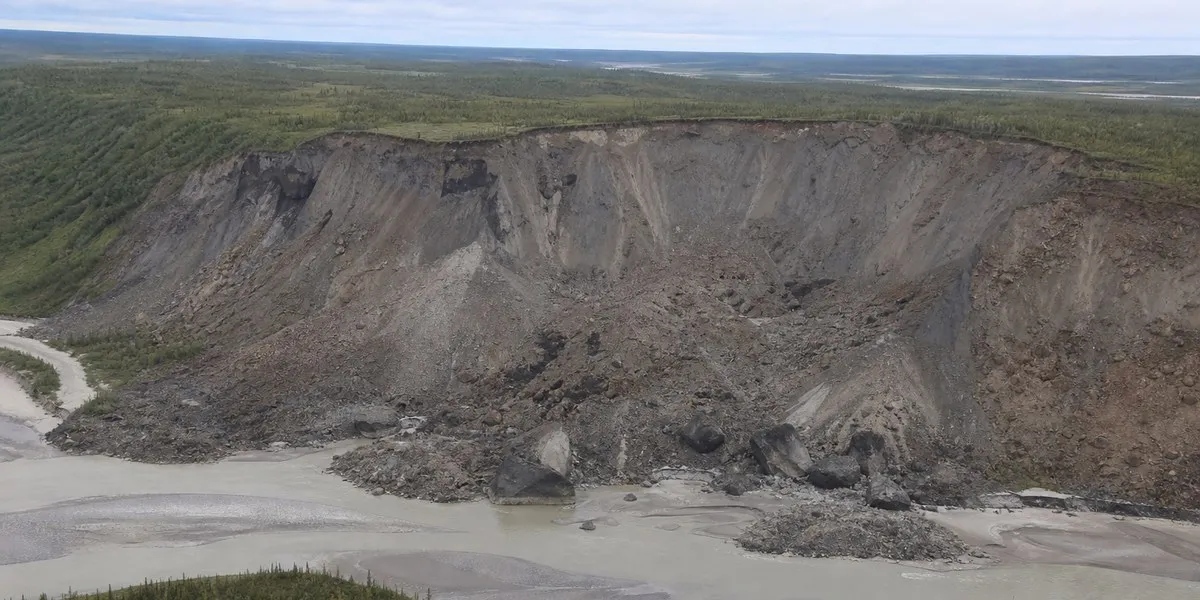
Researchers have for the first time identified a new type of large-scale permafrost landslide in Canada’s Northwest Territories. Such landslides contain large blocks of frozen ground up to 10 meters high, Live Science reports.
Two largest landslides
Scientists studied two major landslides in the Johnson and Redstone river valleys. The first occurred in 2017 and displaced more than 18 million cubic meters of soil and rock. Another, recorded in 2018, displaced nearly 4.5 million cubic meters of debris. The smaller landslide left a 1.2-kilometer-long scar on the slope, while the larger one extended for nearly 3.2 kilometers.
Researchers noticed signs of landslides in valleys where permafrost had remained stable for a long time. Satellite imagery and field observations showed that these processes differed from the usual thawing of permafrost, when thawed ground turns into a muddy mass and slides down a slope.
More current news is available on the UA.News Telegram channel Telegram.
Impact of fires and warming
According to the scientists’ model, the landslides were caused by a combination of warming and soil thawing after wildfires that occurred nearby around 1995. Since then, the temperature of permafrost in the area has risen by approximately 0.3 degrees Celsius per decade. Cracks in the upper part of the slopes allowed thawing to penetrate deeper and gradually melt the lower part of the frozen layer; this process may have lasted about 20 years.
According to study leader Joseph Young, more than 150 similar landslides have been recorded in the area. They have not yet damaged infrastructure because of the remoteness of the territory, but the two largest landslides blocked rivers, formed new lakes, and rapidly filled waterways downstream with sediment. Researchers believe similar processes are also possible in areas of Canada and Alaska where permafrost is 20 to 40 meters thick.