In Kashmir, recharge elevation range of 1,750–2,875 m identified — Mongabay
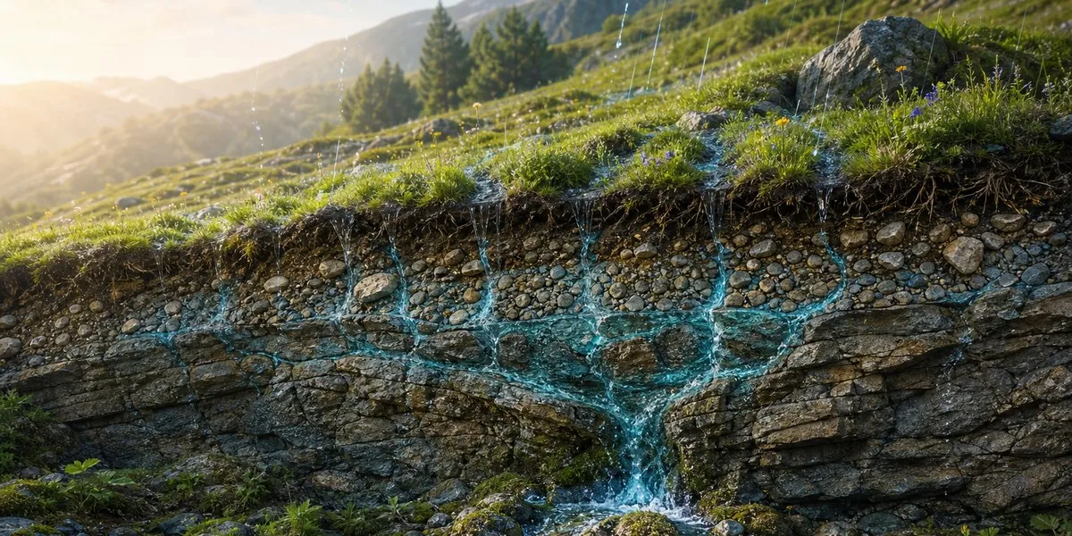
Researchers have identified a potentially important elevation range for the recharge of many mountain springs in the Sindh River basin in Kashmir — approximately 1,750 to 2,875 meters above sea level. The findings could help direct conservation efforts not only toward developing spring outlets but also toward protecting areas where water infiltrates the soil and replenishes groundwater, Mongabay reports.
Where water enters the ground
The study, published in 2025 in the Journal of Earth System Science, combined field research, geospatial modeling and an analysis of stable hydrogen and oxygen isotopes in water. The scientists considered elevation, slopes and land-cover type, while isotope analysis helped refine the possible areas where rainwater and melted snow seep into the ground and replenish groundwater.
A spring is where groundwater emerges at the surface, but not necessarily where it enters the ground. Water can infiltrate through soil, vegetation and permeable rocks higher in the mountains, then move underground and emerge much lower down. Therefore, disturbances in recharge zones can affect spring discharge even without intervention directly near their outlets.
At the same time, the study does not establish precise boundaries of recharge zones for each spring. They may vary because of local geological conditions and groundwater flow paths, and some springs may receive water outside the identified elevation range as well.
More current news is available on the UA.News Telegram channel Telegram.
The causes of drying up require verification
An earlier study by the researchers, published in 2023, recorded a decline in the discharge of many springs in the Sindh basin, while some dried up. The authors linked this trend to climate variability, including rising temperatures and earlier snowmelt, as well as changes in land use.
Hydrogeologist Suhail Ahmad Lone, who was not involved in the new study, stressed that determining the causes of reduced flow from a particular spring requires long-term measurements, precipitation and snowfall data, as well as an examination of local geology. According to him, road construction, excavation and the expansion of settlements can alter groundwater pathways, but each case requires separate study.
Among possible measures to support groundwater recharge, specialists name vegetation restoration, small check dams and rainwater-harvesting structures. Their suitability should be determined by taking into account rock permeability and conditions in the specific area.