Israeli army prepares to open Route 463 for settlers — Al Jazeera
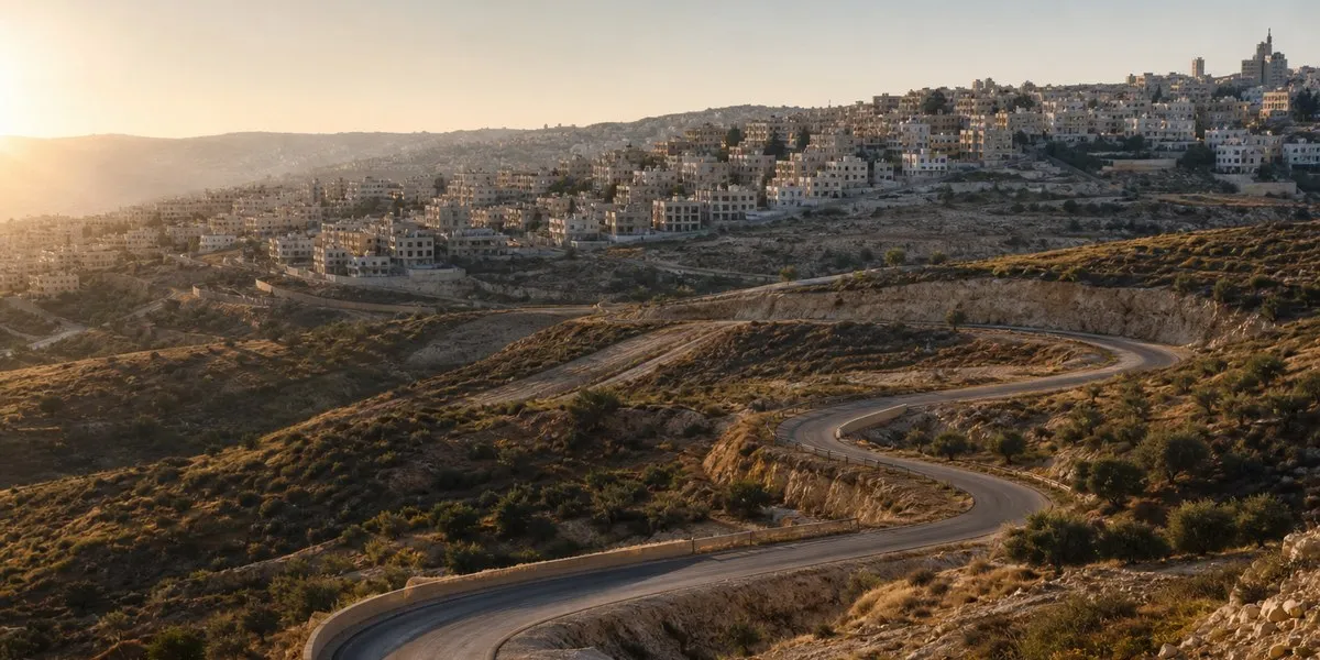
The Israeli army, according to Al Jazeera, is preparing to open Route 463 to settler traffic in Palestine, in the occupied West Bank. According to the outlet, this could isolate eight Palestinian villages and two large residential areas, as well as divide the northern and southern parts of the Ramallah and al-Bireh Governorate.
The approximately 10-km route runs from al-Bireh and the Jalazone refugee camp in the east to Ein Qiniya in the west. The road was built in the mid-1990s to connect the Beit El settlement north of Ramallah with the Dolev settlement west of the city. After the start of the Second Intifada in 2000, the Israeli army temporarily prohibited both settlers and Palestinians from using the road.
Risk of community isolation
The opening of Route 463 is part of a 1.075 billion Israeli shekel infrastructure budget for settlements, or about $355 million. The program is aimed at connecting settlements in the West Bank. The timing of the road's opening has not been specified, but the Israeli government seeks to implement the plan before Israel's elections scheduled for October 27.
The Commission against the Wall and Settlements, affiliated with the Palestine Liberation Organization, said the plan is part of a systematic policy to destroy the geographical and demographic integrity of the Palestinian territories. Nearly 400,000 Palestinians live in 80 communities in the Ramallah and al-Bireh Governorate.
More current news is available on the UA.News Telegram channel Telegram.
According to the commission, tens of thousands of people will be forced to use an old alternative road near the Jalazone camp, north of Beit El, if Route 463 is opened. It is already overloaded with traffic and, according to the commission's assessment, will not be able to handle the additional flow.
Land and the Oslo Accords
Jamal Juma, coordinator of the Popular Campaign to Resist the Wall and Settlements, warned that using the route as a settler road could be accompanied by new military checkpoints, watchtowers, land confiscation, restrictions on farmers' access, and home demolitions under the pretext of settlers' security.
Al-Bireh Mayor Munif Treish said that 95% of Route 463 is located in Area B. Under the 1995 Oslo II Accords, Palestinian civil administration and joint Israeli-Palestinian security control apply there. Only a small section of the road lies in Area C, which is under full Israeli control. Treish called the possible repurposing of the road for settlers and the military a violation of agreements with the PLO and said the municipality would challenge it legally.
The commission also noted that of 173 military and security orders issued from October 2023 to April 2026, 66 concerned the construction of roads for settlers. In the first half of 2026, according to its data, 40 orders were issued to confiscate 611 dunams of land for the construction of 16 such roads.