Antarctic winter sea ice maximum was the third lowest — ScienceDaily
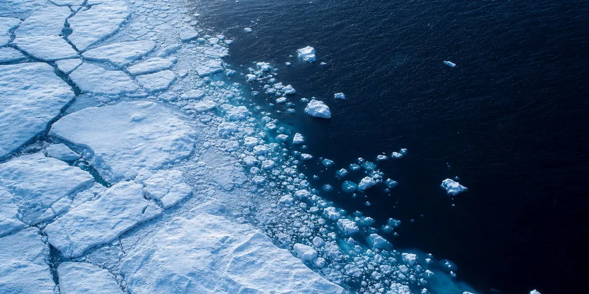
In September 2026, Antarctica recorded the third-lowest winter sea ice maximum in the entire period of satellite observations. ScienceDaily reports that, according to estimates by NASA and the U.S. National Snow and Ice Data Center, the maximum likely occurred on September 14. Ice extent at that time was about 17.59 million square kilometers.
A shift in the long-term trend
In the Southern Hemisphere, sea ice extent is usually greatest in September, after which it declines to its annual minimum in February. Unlike the Arctic, where the ocean is surrounded by land, Antarctica is surrounded by a vast expanse of ocean. This allows ice to spread far from the continent in winter, but also carries it into warmer latitudes, where melting becomes more likely in summer.
From 1979 to 2014, Antarctic sea ice extent increased by approximately 1% per decade. In 2012–2014, the winter maximum set new records for three consecutive years. However, the growth trend ended in 2015, and from 2016 the region experienced a substantial reduction in ice cover. Although moderate recoveries were observed in some years, figures generally remained below the historical average.
More current news is available on the UA.News Telegram channel Telegram.
Satellite observations
Antarctica's lowest summer minimum and winter maximum for the entire satellite period were recorded in 2023. Scientists continue annual measurements to determine whether the decline indicates a long-term transformation in sea ice conditions or falls within the range of statistical variability.
Satellite passive microwave sensors are used to assess ice extent. They detect microwave energy naturally emitted by Earth's surface: sea ice produces a stronger signal than open water. Microwaves pass through clouds, making observations possible even under dense cloud cover. The satellite record began in late 1978, and observations from Japan's GCOM-W satellite began to be included in it in 2025.