Arctic sea ice extent reached 4.6 million km² in September — ScienceDaily
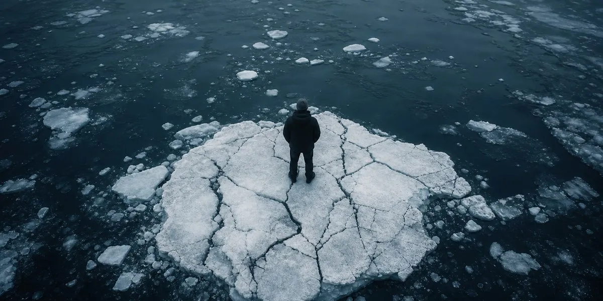
The minimum Arctic sea ice extent on September 12, 2026, was approximately 4.6 million square kilometers. This figure shared 10th place among the lowest values since satellite observations began, alongside the minima of 2008, 2010, and 2025, ScienceDaily reports, citing NASA and the U.S. National Snow and Ice Data Center.
Arctic sea ice usually grows during winter, reaching its largest extent in March, and shrinks to its annual minimum in September. Continuous satellite measurements have been conducted since late 1978. They record a long-term decline in ice cover during both summer and winter.
Low values have persisted for decades
Every summer season from 2007 to 2026 ranked among the 20 seasons with the smallest September ice extent over the entire satellite record. The absolute minimum was recorded in September 2012.
At the same time, over the past decade, September ice extent has remained relatively stable compared with the rapid decline in previous years. Scientists note that ice losses in an individual season are significantly affected by short-term weather conditions. NASA researchers cite greater cloud cover over the Arctic, which reduces the amount of sunlight reaching the ice, as one factor slowing ice loss.
More current news is available on the UA.News Telegram channel Telegram.
Ice is becoming younger and thinner
The changes concern not only the extent of the ice cover. Multiyear ice, which survives at least one summer melting season, has declined significantly. It is increasingly being replaced by thinner first-year ice, which forms in winter and melts more easily in summer.
The decline is also visible in the winter maximum: in March 2026, the maximum ice extent was statistically tied with the March 2025 figure. Both figures were the lowest winter peaks over the entire satellite observation period. According to scientists' forecasts, the Arctic Ocean may lose almost all of its sea ice in summer at least once by the middle of the 21st century.
Satellites with passive microwave sensors are used for measurements. They distinguish sea ice from open water by natural microwave radiation and can conduct observations through clouds.