Taiwan orders AI system to analyze PLA imagery — South China Morning Post
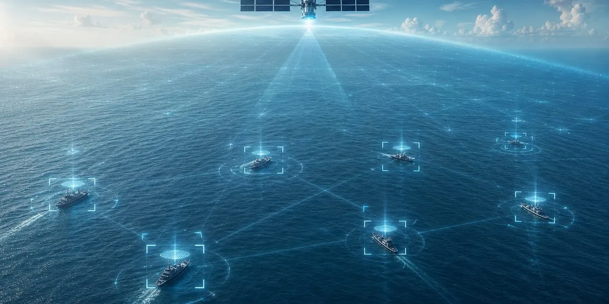
Taiwan’s Ministry of National Defense has ordered an artificial intelligence-based system to analyze satellite imagery, which is intended to speed up the detection of ships, aircraft and missile launchers of the People’s Liberation Army of China (PLA). This was reported by the South China Morning Post.
The system costs 46.55 million New Taiwan dollars, or about US$1.45 million. According to the defense ministry, the AI will be able to analyze imagery of an area covering 100 square kilometers within minutes, reducing the time and human resources needed to track changes in PLA force deployments.
Contract with ThinkTron
The contract was concluded under a public procurement procedure by the Communications Development Office of Taiwan’s Ministry of National Defense, one of the key military intelligence units. The contractor is Taiwan-Japan company ThinkTron, which specializes in artificial intelligence, geographic information systems and monitoring technologies.
The agreement took effect on September 25, and the system is planned to be completed by the end of April. Earlier, Taiwan’s Defense Minister Wellington Koo Li-hsiung confirmed the military’s intention to create a prototype satellite-image recognition system using AI.
More current news is available on the UA.News Telegram channel Telegram.
Analysis of data from existing satellites
The new system does not provide for the purchase of reconnaissance satellites. According to military analyst Ziwen Wang, its main function is the rapid processing of imagery and information received from satellites. The Communications Development Office does not operate military-grade satellites that provide this data.
The technology is intended to automatically compare new images with archived ones and flag changes for analysts. According to sources familiar with the project, it will be able to analyze several areas measuring 10 by 10 km and detect ships longer than 10 meters, as well as smaller targets, including aircraft, missile launchers and radar vehicles.
Max Lo, executive director of the Taiwan International Strategic Study Society, said the results of satellite image analysis could be compared with signals intelligence data. This, he said, would help identify vessels, including when military ships operate among civilian shipping or switch off automatic identification system transponders.