In Kyiv, you can now track public transportation even during alerts
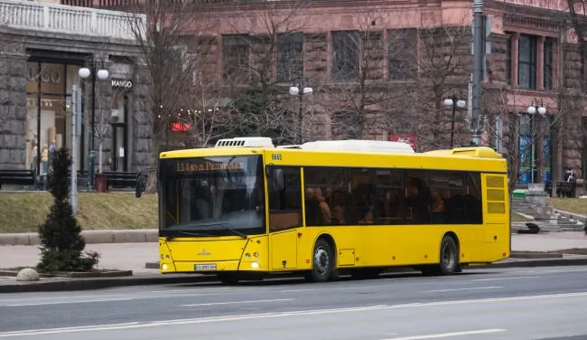
A new online tracking feature for ground-based public transportation has been introduced in Kyiv. Now, you can see the movements of buses, trams, and trolleybuses on the map even during air raid alerts, despite disruptions in satellite navigation.
How the new tracking system works
As explained by Tetyana Tarasko, acting CEO of Kyivpastrans, the system relies on alternative data sources. The received signal is processed by software and displayed on a city map, linked to a specific route.
Currently, during air raid alerts, the coordinates of the fleet are updated every 3 minutes. The municipal enterprise reported that the system has already been tested and is fully operational, but specialists are continuing to work on reducing the update interval to 1–2 minutes.
How the New Tracking System Works
As explained by Tetyana Tarasko, acting CEO of “Kyivpastrans,” the system relies on alternative data sources. The received signal is processed by software and displayed on a city map linked to a specific route.
Currently, during air raid alerts, the coordinates of the fleet are updated every 3 minutes. The municipal enterprise reported that the feature has already been tested and is fully operational, but specialists are continuing to work on reducing the update interval to 1–2 minutes.
Where passengers can track public transportation
The entire “Kyivpastrans” fleet, which serves routes in the capital, has been connected to the new service. This ensures continuous monitoring for the dispatch service and makes it easier for city residents to plan their trips.
This was reported with reference to the Kyiv City State Administration’s press service.
In Kyiv, the North and South Bridges were closed following Russian attacks: public transportation has changed its routes.
Tram and trolleybus service has begun to resume in Kyiv